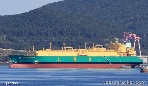
 vesseltracker.com
Find the position of the vessel Lng Port harcourt Ii on the map. The latter are known coordinates and path.
marine traffic ship tracker show on live map
The current position of vessel Lng Port harcourt Ii is 2.77739 lat / 5.98467 lng. Updated: 2025-11-01 12:20:39 UTCCurrently sailing under the flag of Bermuda
Details:
Last coordinates of the vessel:
UTC, 3.49817, 6.37866, course: 222, speed: 14.5UTC, 3.32640, 6.27860, course: 207, speed: 9.8
UTC, 3.08306, 6.15560, course: 205, speed: 14.6
2025-11-01 12:20:39 UTC, 2.77739, 5.98467, course: 210, speed: 14.7
Track of the vessel in the last 14 days
The ship also appears on the maps: